The Chippewa River
I grew up in Eau Claire, a small city on Wisconsin’s Chippewa River. During the 1950s and 1960s, people didn’t pay much attention to the river except to cross it on bridges. There wasn’t much recreational use of the river, and it wasn’t used for transportation. Things changed at the end of the Twentieth Century. Trails and new parks were built along the river. Natural areas were set aside for preservation. People started tubing, canoeing, and fishing on the river. People were again using the river.
I use the word “again” because before the mid-Twentieth Century, the river, for much of its history, was a critical transportation artery. Commercial craft plied the river: canoes, log rafts, keelboats, pirogues, steamboats. All that ended with the arrival of railroads, bridges, and highways, transportation modes that displaced the river traffic. It stayed that way, as I’ve mentioned above, until the growth of recreation on the river.
In 2015 I finished a project to photograph the St. Croix River from its headwaters to the Mississippi River. I enjoyed the project so much I looked for something similar; a project that would involve getting outside, exploring, hiking, discovering places I’d never visited, and taking photographs. Why not start a project to photograph the Chippewa, the river I grew up on and the second largest river entirely in Wisconsin? So I started in 2016.
The river begins in the coniferous forests of northern Wisconsin. It ends in the hardwood forest of a broad, flat delta and empties into the Mississippi River. Between the northern coniferous forest and the hardwood forest of the delta, the river flows through areas of mixed agriculture and forest. The delta of the Chippewa runs from just south of Durand to the Mississippi and is the biggest river delta and the largest floodplain forest in the Midwest. The broad delta is bordered by the bluffs of the The Driftless Area. The Driftless Area was not affected by the most recent glaciation and has remained an area of ridges and valleys (also called coulees), winding roads, few towns, frequent rock outcrops, and little agriculture except on the flatter uplands between ridges.
The East Fork Of the Chippewa River

The West Fork Of the Chippewa River

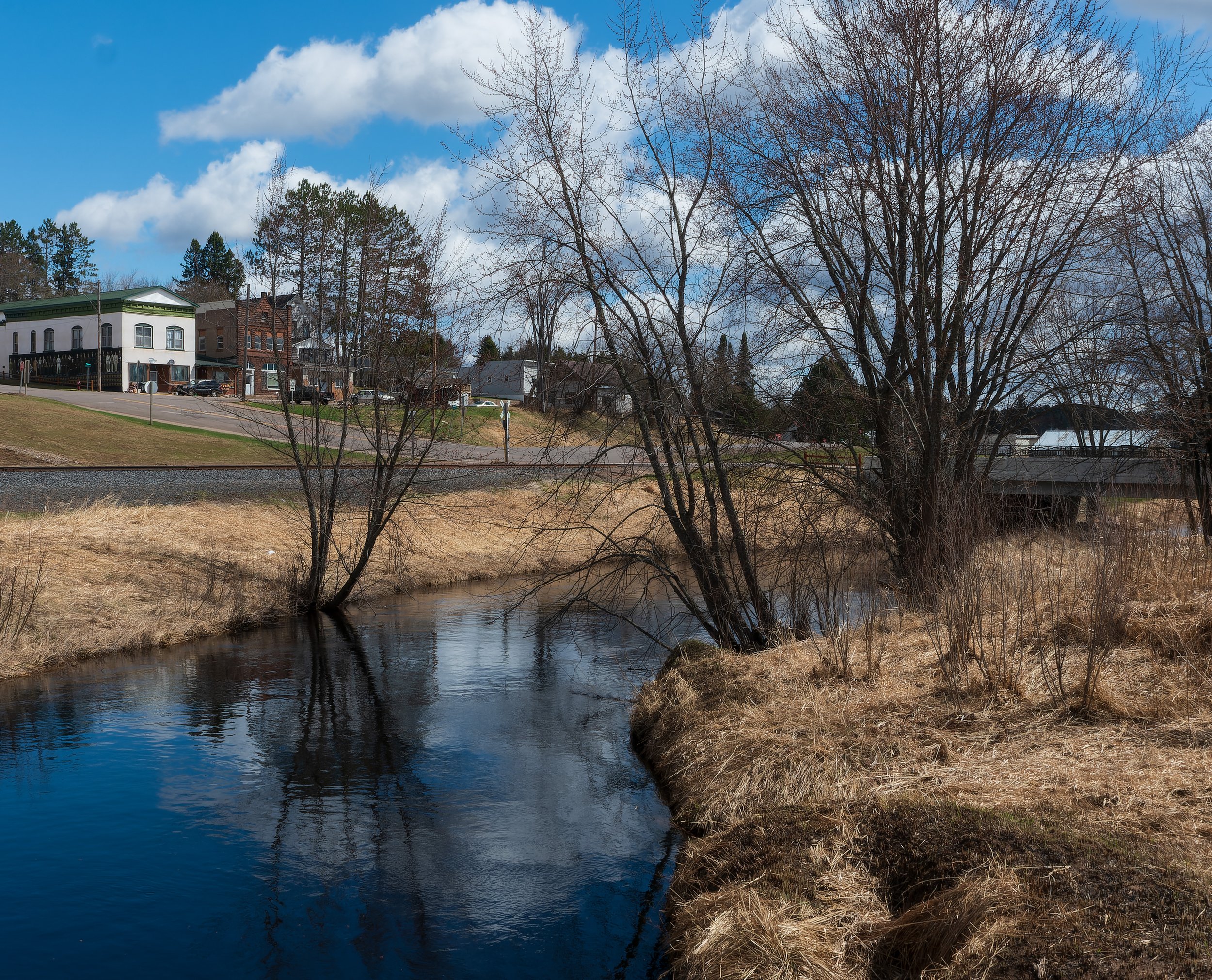
The Upper Chippewa River

The Lower Chippewa River