The East Fork Of the Chippewa River
The East Fork Of the Chippewa River flows out of marshes in the southwest corner of Iron County, Wisconsin. It flows southwest through marshes and forests, much of the way through the Chequamegon-Nicolet National Forest. It merges with the West Fork Of the Chippewa River at the Winter Dam on the southeast corner of Lake Chippewa. The main Chippewa River flows south below the dam.

The marsh that is the source of the East Fork

Less than a mile - as the crow flies - from the source of the East Fork, taken facing west from the Chippewa Fire Lane near Glidden

A mile or two downstream from the source of the East Fork on the Chippewa Fire Lane near Glidden

Typical terrain near the source of the East Fork

Swanson Creek, a tributary of the East Fork as it passes under Ashland County Highway GG
The East Fork at Bear Lake Road

A tributary of the East Fork off Bear Lake Road

A tributary of the East Fork off Stock Farm Road

The East Fork from the bridge of Ashland County Highway GG

Winter on the East Fork taken from Ashland County Highway GG

The bridge on Birkholtz Cutoff Road after a fresh snowfall

Birkholtz Cutoff Road Bridge over the East Fork

Bridge on Birkholtz Cutoff Road over the East Fork

The East Fork shot from the Birkholtz Cutoff Road Bridge

Panorama shot from one end of the Stockfarm Road Bridge

The East Fork flowing under the Stockfarm Road Bridge

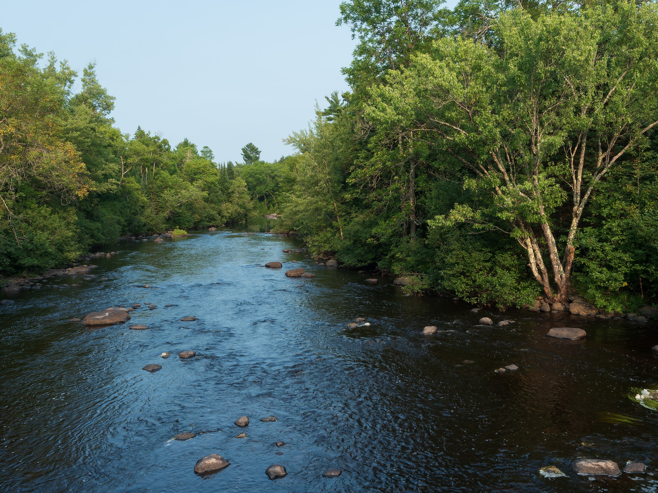
The East Fork looking west from Clover Road

Fishtrap Lake Road Dam
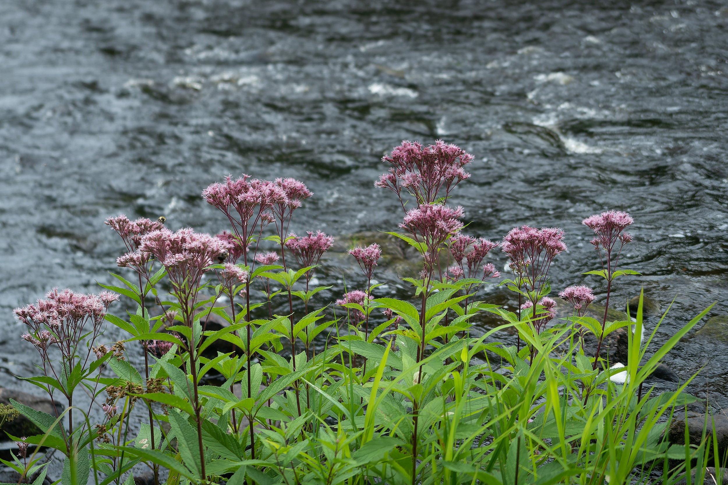
Flowers and East Fork rapids near Sawyer County Highway B

Abandoned bridge on what was once Fishbach Road just downstream from Glidden

Silver Creek Road running through Wisconsin's Northern Highlands

A narrow stretch of The East Fork downstream from Silver Creek Road

Looking north from Silver Creek Road

Augustine Creek Road near Glidden

East Fork shot from Augustine Creek Road

The East Fork in Glidden

Pedestrian bridge over the East Fork in Glidden

Downtown Glidden. The East Fork is at the bottom of the dip in the road.