The West Fork Of the Chippewa River
The West Fork Of the Chippewa River flows out of Chippewa Lake in Sawyer County, Wisconsin. It flows south/southwest through the village of Clam Lake and eventually into Lake Chippewa (aka The Chippewa Flowage.) Its channel, now submerged under the waters of the flowage, meets the East Fork at the Winter Dam. The main body of the Chippewa River flows south from the dam.
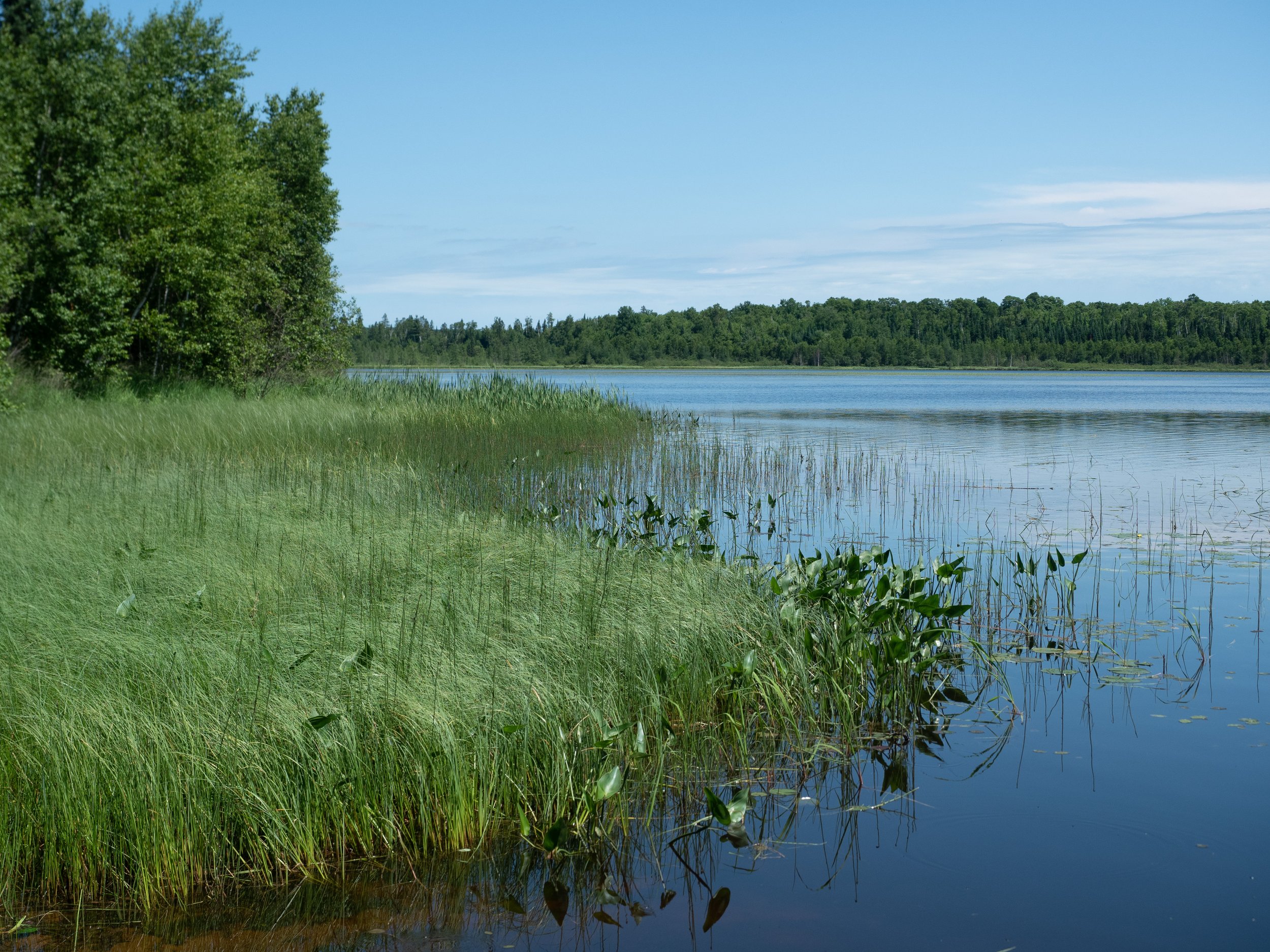
Chippewa Lake, the source of the West Fork

Hummocks of snow on the West Fork

Snowmobile trail on the Forest Road 174 bridge

Swans on the West Fork upstream from the Forest Road 174 bridge

January on the West Fork, taken from the Forest Road 174 bridge

Summer on the West Fork seen from the Forest Road 174 bridge

The West Fork in winter as it leaves Lower Clam Lake off Wisconsin Highway 77

The West Fork in summer as it leaves Lower Clam Lake off Wisconsin Highway 77 south of Clam Lake

Dock at the Musky Tale Resort

Dock and flower pot at the Musky Tale Resort

Moose Lake, a flowage on the West Fork

Road over the small dam that backs-up Moose Lake

Moose Lake Historical Marker

Sunflower and pond on Forest Road 175 near Ghost Lake

Looking downstream on the West Fork off Wisconsin Highway 77 south of Clam Lake

Looking downstream on the West Fork off Wisconsin Highway 77 south of Clam Lake

The Three Bears along the West Fork in Clam Lake

The West Fork from Ashland County Highway GG

Day Lake in the background with the West Fork in the foreground leaving the lake

West Fork below the Day Lake Dam

Oxeye daisies on the West Fork along Taylor Lake Road

Leaving the Musky Tale Resort, shot from the Sawyer County Highway B bridge

The Musky Tale Resort