The Lower Chippewa River
The Chippewa River south of Eau Claire is a meandering, braided river with broad curves, multiple channels, wide beaches, sandbars, oxbow lakes, and a large delta. This section of the river includes a number of pieces of public land, the largest in the delta where there is the Tiffany Bottoms State Natural Area and the Nelson-Trevino Bottoms State Wildlife Area. Bottoms are low areas in river floodplains that are often flooded. Upriver from the delta is the the Dunnville Bottoms that encompasses the Dunnville Barrens State Natural Area and the Dunnville State Wildlife Area.

Looking south towards downtown Eau Claire, taken from the High Bridge

The river flowing downstream from Holte's Landing at Caryville.

The Chippewa flowing southwest a few miles downstream from the Caryville Bridge

The river flows on to the sea, Dunn County

Quiet evening at the Dunnville Bottoms

Dunnville Bottoms sunset

Bottomlands, Dunnville Bottoms

Savannah, Dunnville Bottoms, Waubeek Mound in the background

Crepuscular rays, Dunnville Bottoms

Animal tracks, Dunnville Bottoms

Cady Creek, a tributary of the Eau Galle River, a tributary of the Chippewa

Cady Creek flowing through a coulee

Eau Galle River dam in the town of Eau Galle

Evening in Durand

Sunset over the river in Durand

Road that will drop over the bluff into the Tiffany State Wildlife Area in the Chippewa River delta

Butterfly and flowers next to a slough in the delta

Slough in the Tiffany State Wildlife Area in the delta
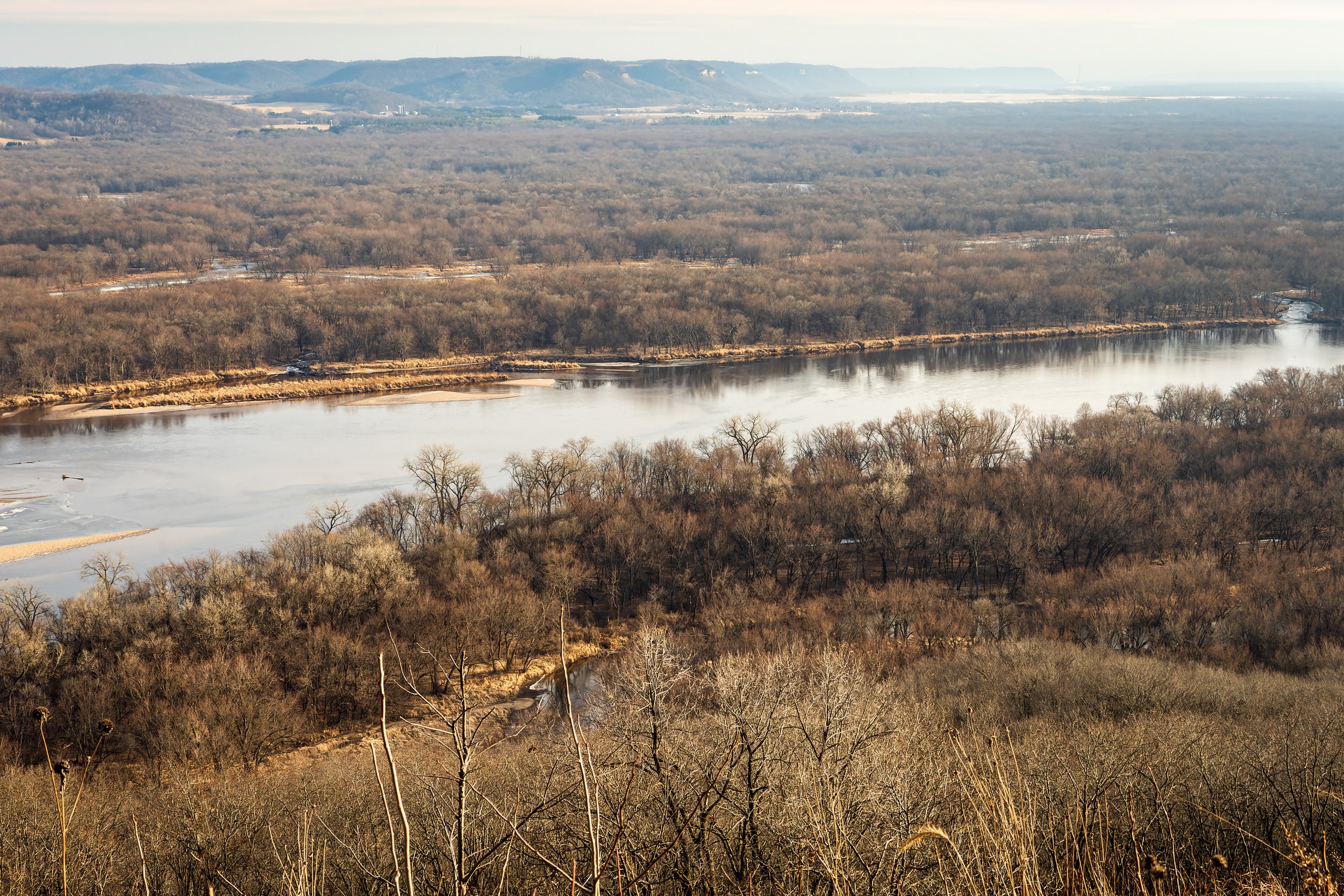
Delta taken from atop Five-Mile Bluff

On the ice on Lake Pepin, a wide spot of the Mississippi backed up by the Chippewa River delta

Winter afternoon, WIsconsin Highway 35 bridge, the last roadway bridge on the river