The Upper Chippewa River
The Chippewa River starts at the Winter Dam in Sawyer County, Wisconsin. It flows south for a few miles, then swings to the southwest until it reaches Radisson where it is joined by the Couderay River. It then flows south with a few twists and turns until it flows into Dells Pond in Eau Claire. Dells Pond is formed by the Dells Dam, the last dam on the river. There are sixteen dams on the East Fork, the West Fork, and the upper Chippewa River. On the lower Chippewa south of Eau Claire, there is not a single dam. There are eight towns or cities on the upper Chippewa; on the lower, just Durand. On the lower river, one finds large beaches, islands, sloughs, swamps; on the upper river there are none of these.
Why are the two sections of the river so different? Because of geology and geography. The bedrock beneath the upper Chippewa is hard, stable, ancient rock, well-suited for anchoring dams. Below Eau Claire, the terrain is flatter, the river runs more slowly, and the bedrock is softer sedimentary rock. There are no good spots to anchor a dam.
Farmhouse a few miles south of the Winter Dam
Old boats at the Wannigan
Summer, cottage, Ojibwa
Winter, cottage, Ojibwa
Looking downstream from the boat landing at Ojibwa Park on Wisconsin Highway 70
Rusk County D Bridge between Holcombe and the mouth of the Flambeau River
St. Francis of Assisi Church upstream from Holcombe
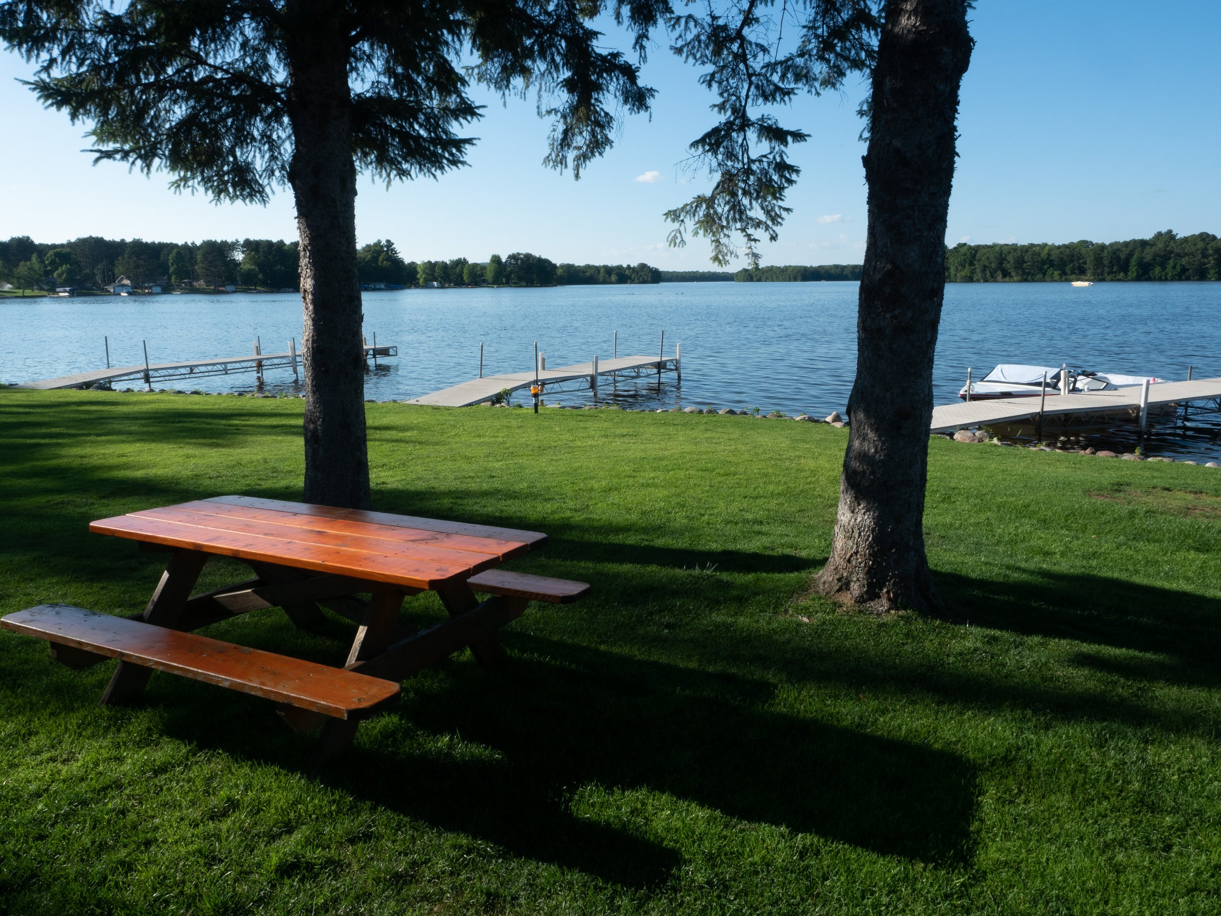
Resort on the Holcombe Flowage
Holcombe Flowage Dam
Winter storm on the river below the Holcombe Dam
Skeins of geese over the river at Brunet Island State Park
Beach at Brunet Island State Park
Sunset over the Cornell Flowage
Red bench on a snowy day on the Cornell Flowage
Rainbow over factory and power plant at Cornell
The old Cobban Bridge
Upper dam of the two dams at Jim Falls
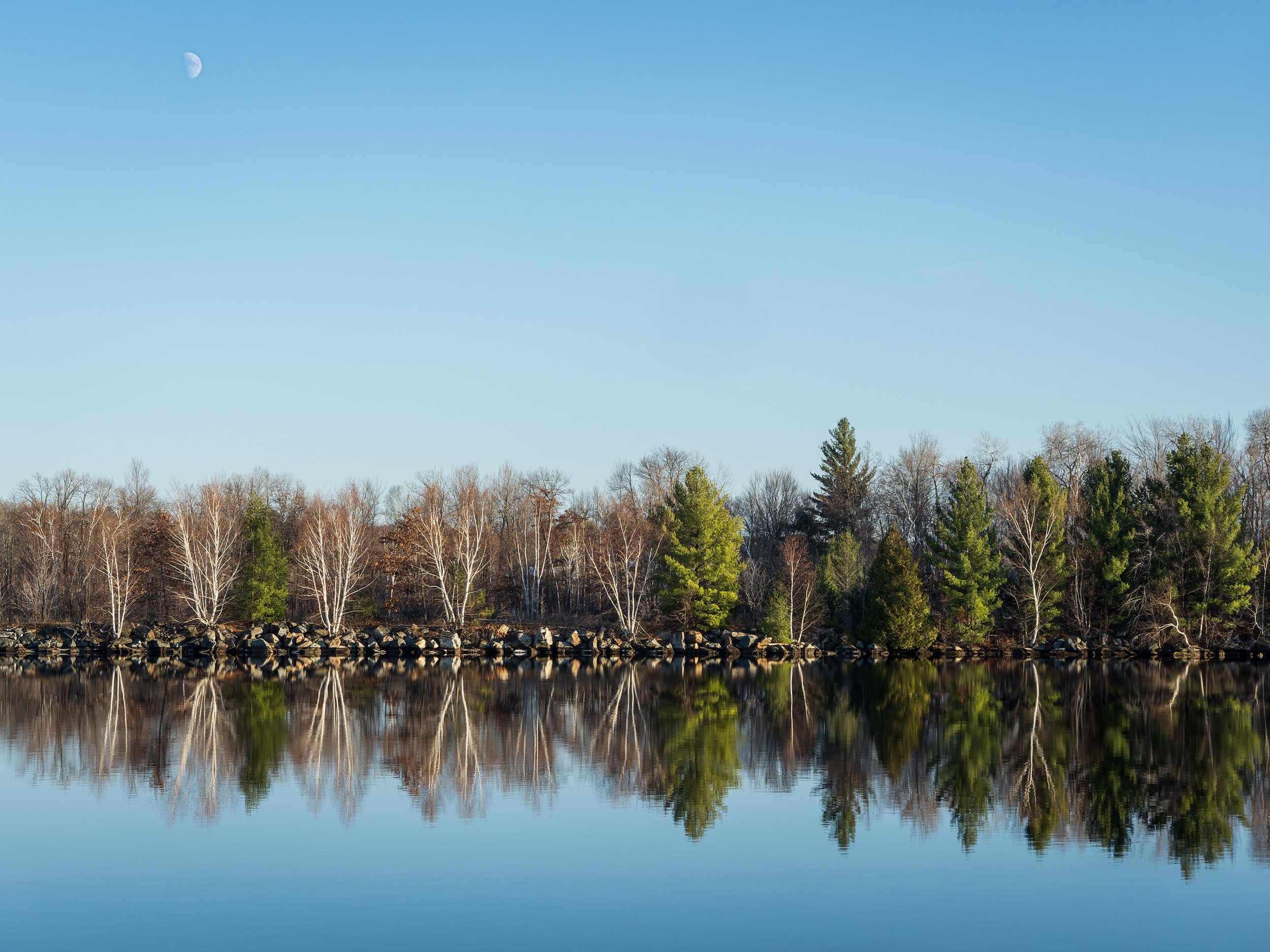
Moon over the east bank of Old Abe Lake, a flowage formed by the dam at Jim Falls
Bedrock, Jim Falls
Tannin-stained water flowing over bedrock at Jim Falls
The upriver dam at Jim Falls. There is another dam a bit downstream that is part of the same hydroelectric complex.
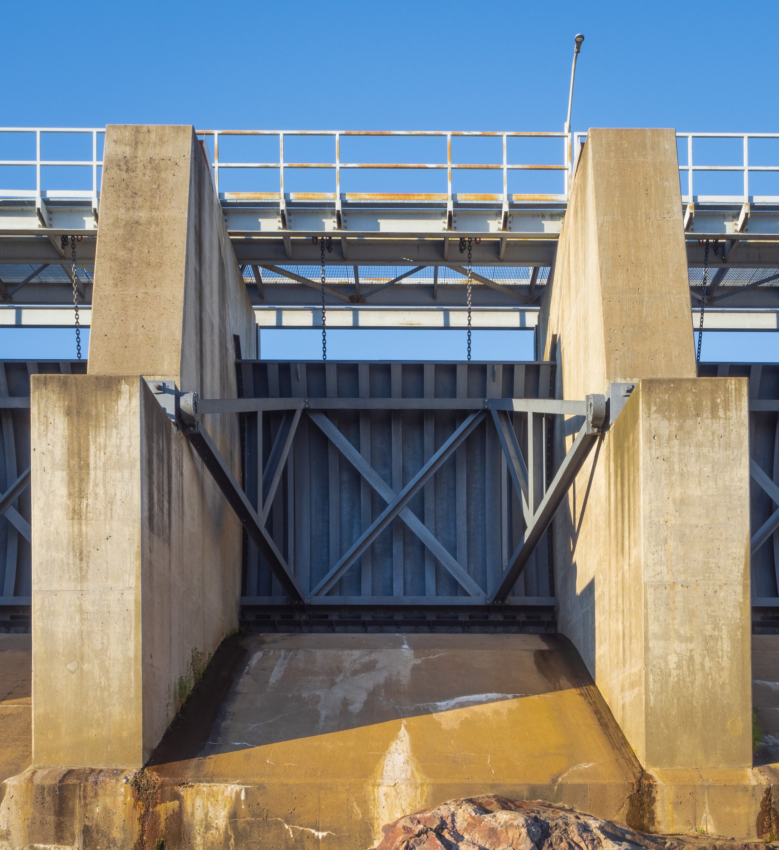
Closed spillway gate on the dam at Jim Falls
The northern-most of the two dams at Jim Falls
Lake Wissota Dam in Chippewa Falls
Lonely gull on a spillway gate of the Lake Wissota Dam
Dells Dam, Eau Claire


