St. Croix River
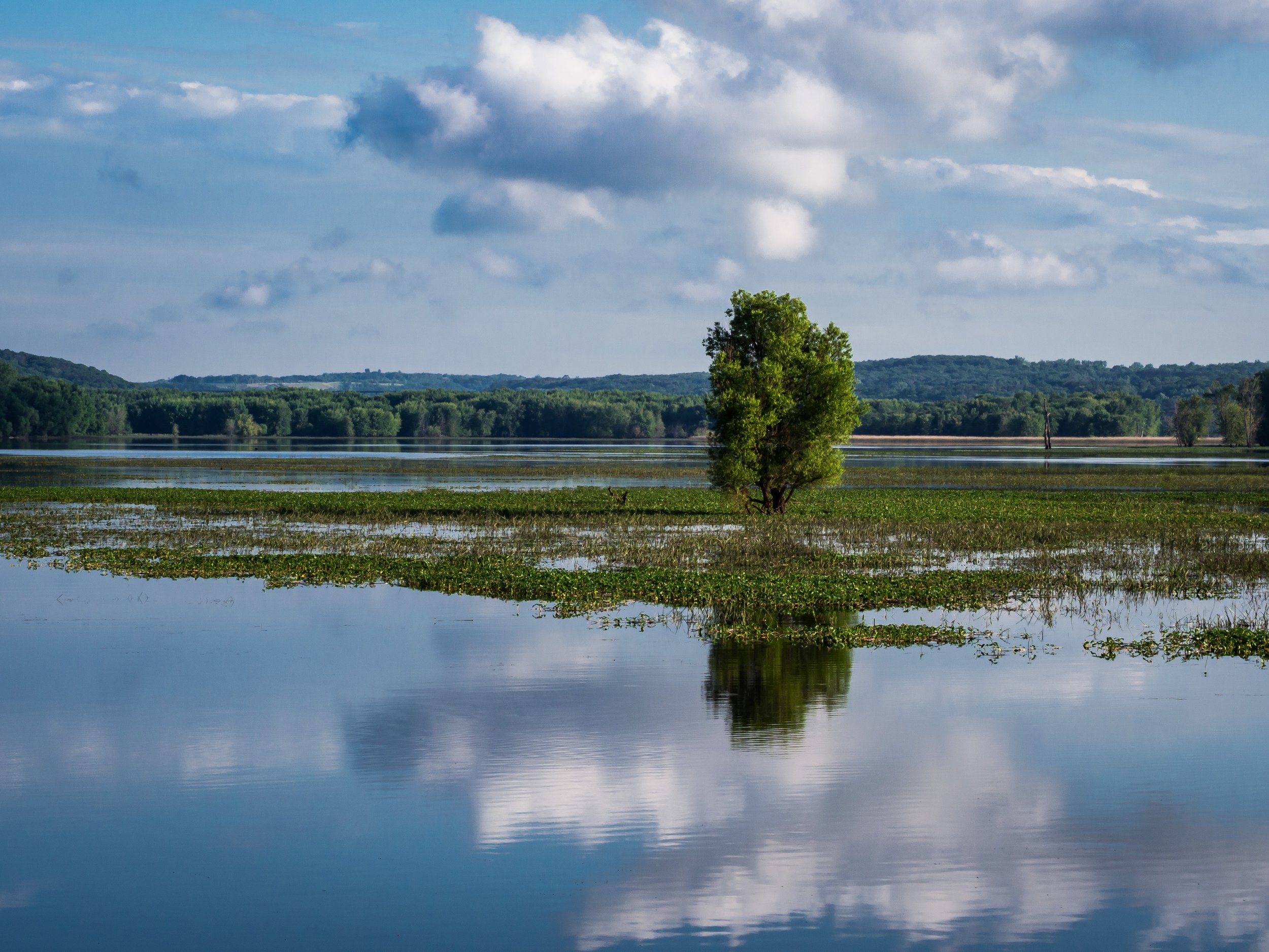
I've lived in the St. Croix River Valley for thirty years, most of that time within walking distance of the river. I swam in the river and canoed on the river. I sunbathed on its sandy beaches. I fished in the river with my brother. I've been on cruises on the paddle wheelers that dock at Stillwater. I've dined in restaurants within spitting distance of the river. I've walked and hiked along the river. I've crossed the river on every bridge - except railroad bridges - that crosses the river. I've driven across the river on the ice between Bayport and Hudson. I've walked on the river on the ice in heavy snowstorms. I watched my grandnieces and grandnephews wade and splash in the river. I've explored the river from its source to its mouth; its bluffs, its beaches, the towns it flows by, its tributaries, State Parks, a National Wild and Scenic Riverway, wildlife preserves, dams, flowages, backwaters.
These pages are the products of a project to photograph the river from its source near Solon Springs, Wisconsin to its merging with the Mississippi at Prescott, Wisconsin. I've organized the photos in galleries, each covering a length of the river starting at its source and continuing downriver.

Headwaters

Lakes

Landings
St Croix Falls To the Arcola Sandbar

Weather

Stillwater Area

Hudson Area

Afton To Prescott