The Stillwater Area
The Stillwater section runs from the Arcola Sandbar, the head of navigation for big boats, to south of Bayport. I claim no geographical logic for where I separate the Stillwater section from the Hudson section. Somewhere south of Bayport is close enough. By this point, the St. Croix is a big river. The section is home to big enterprises: the Anderson Window factory; the King Power Plant; the new Highway 36 bridge; the tour boat operation in Stillwater - in spite of which it is still a beautiful river.
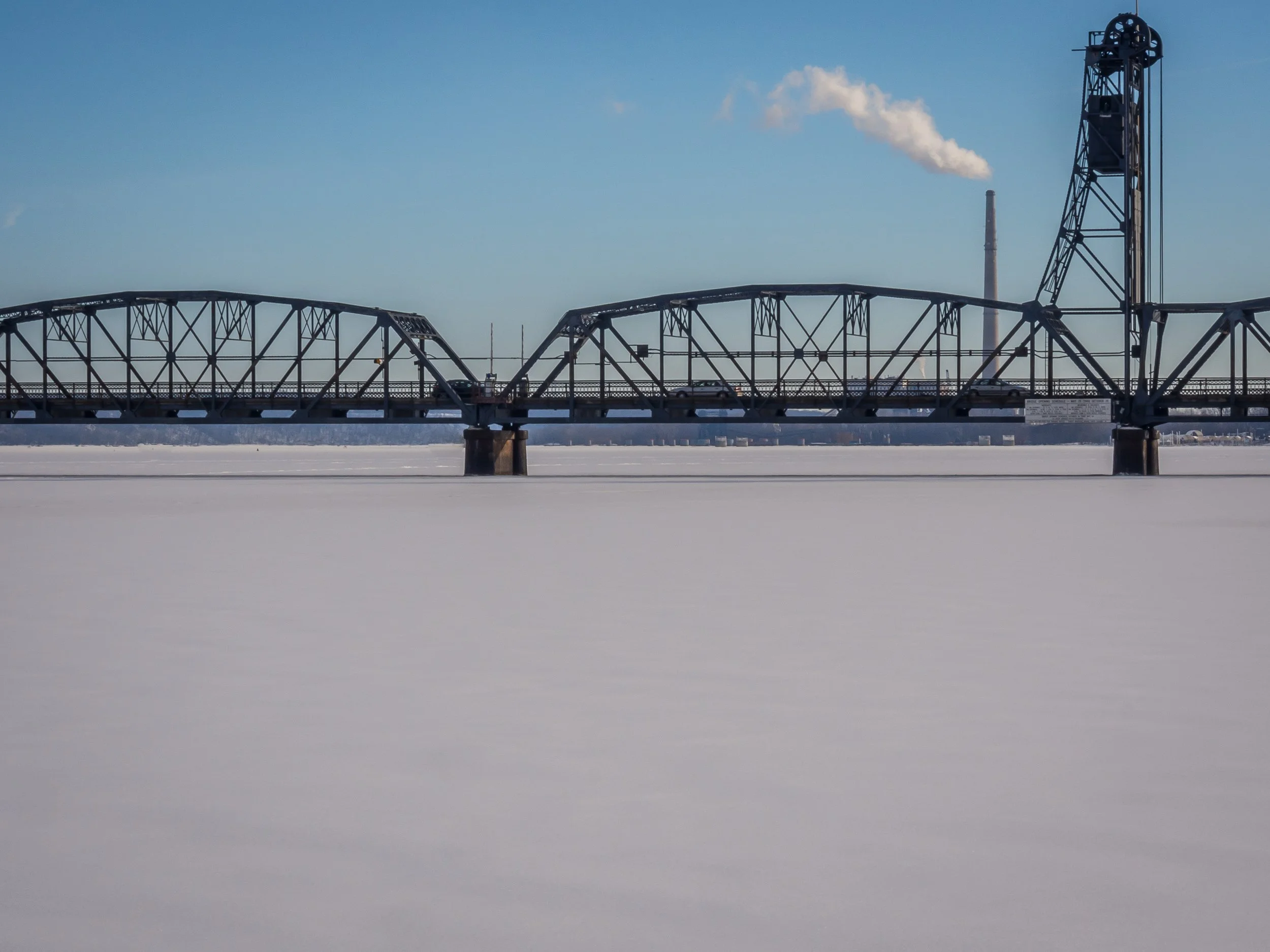
The old lift bridge over the frozen St. Croix. The bridge was replaced in 2019 and is now used by bikers and pedestrians only.
A houseboat heads for the dock at a Stillwater marina.
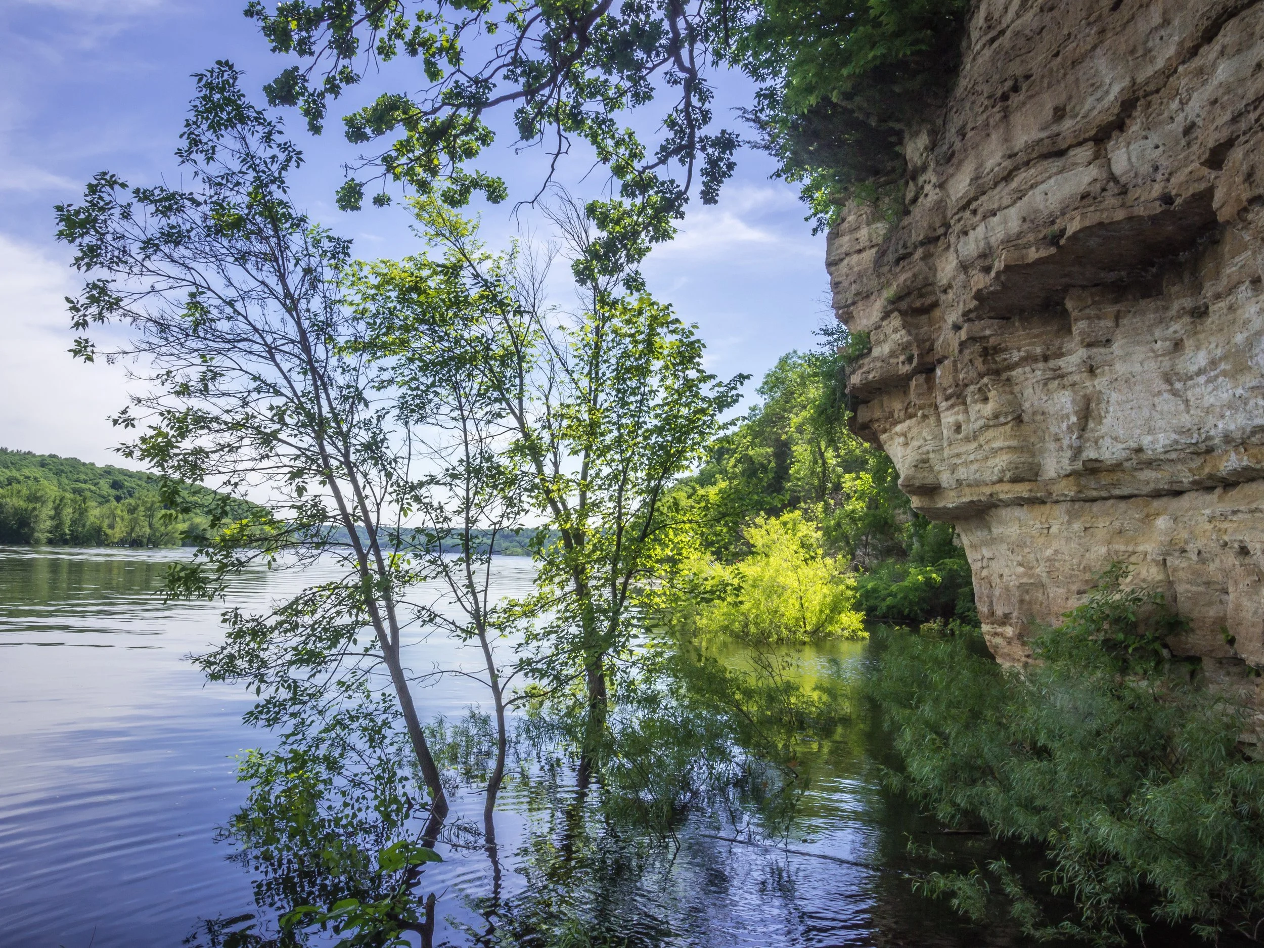
Cliffs at the Boom Site on the St Croix River north of Stillwater, Minnesota

Dock of a marina in Stillwater
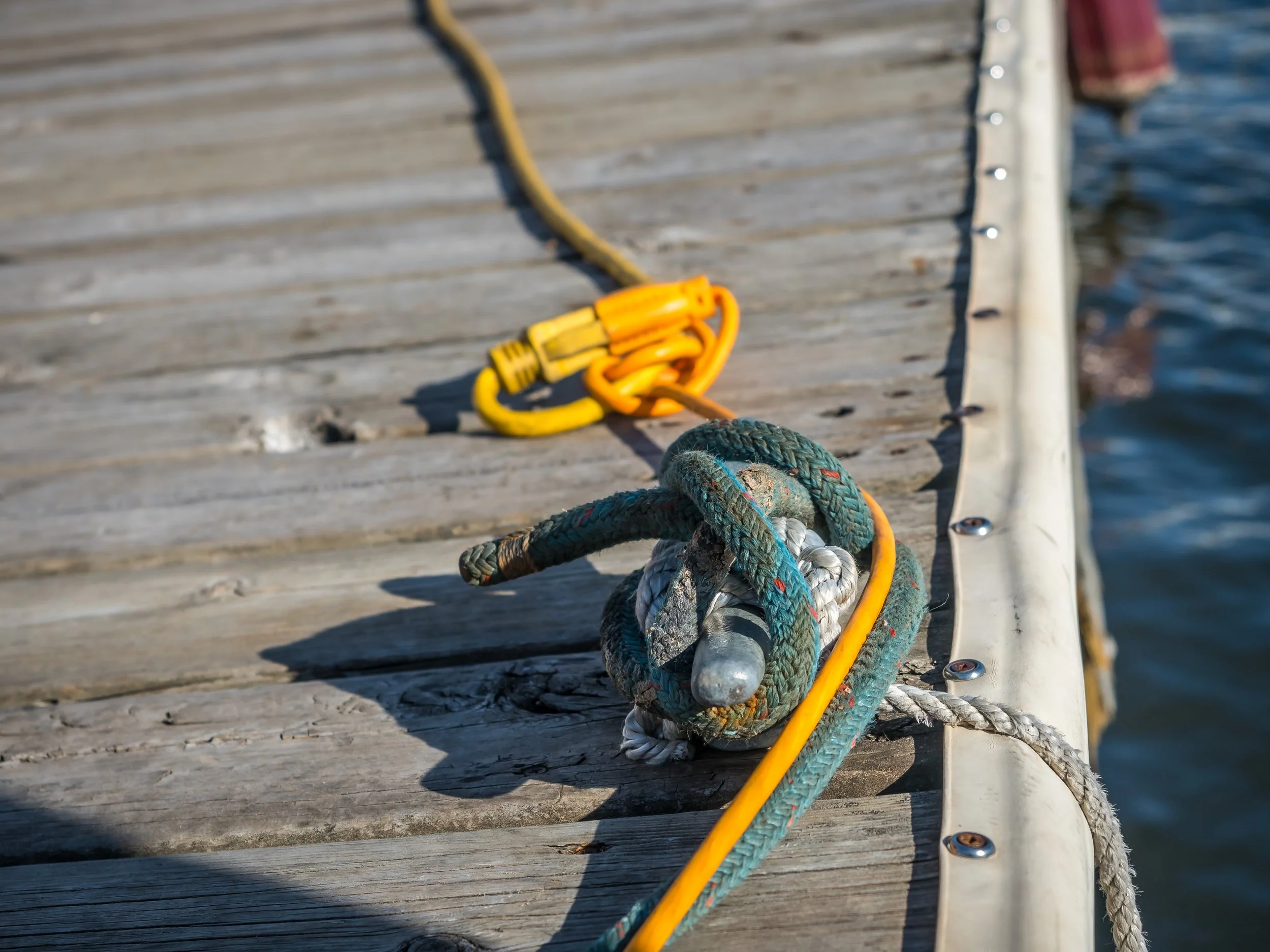
Cleat and rope with yellow cord on a dock in Stillwater, Minnesota
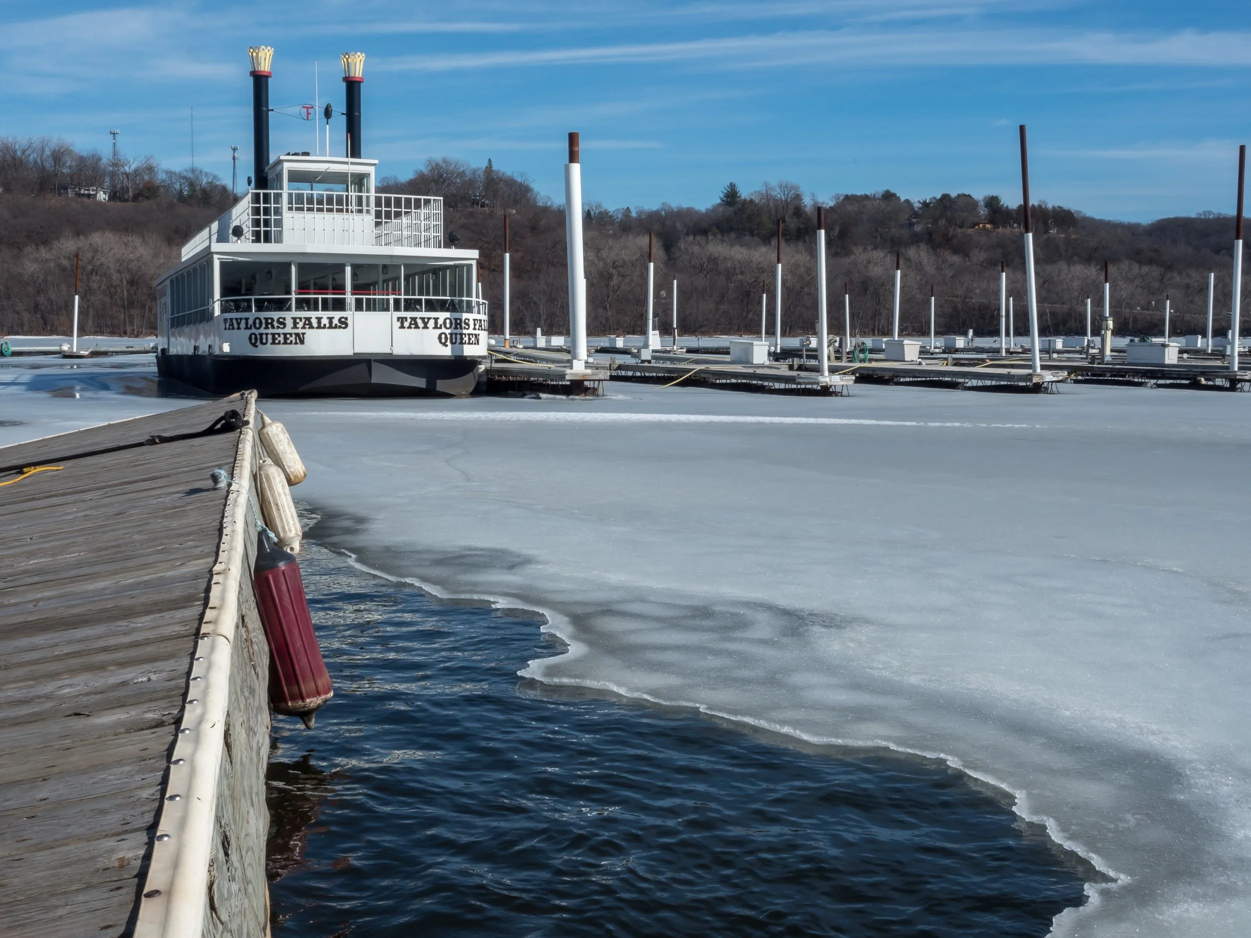
The Taylors Falls Queen spending the winter in a Stillwater marina.
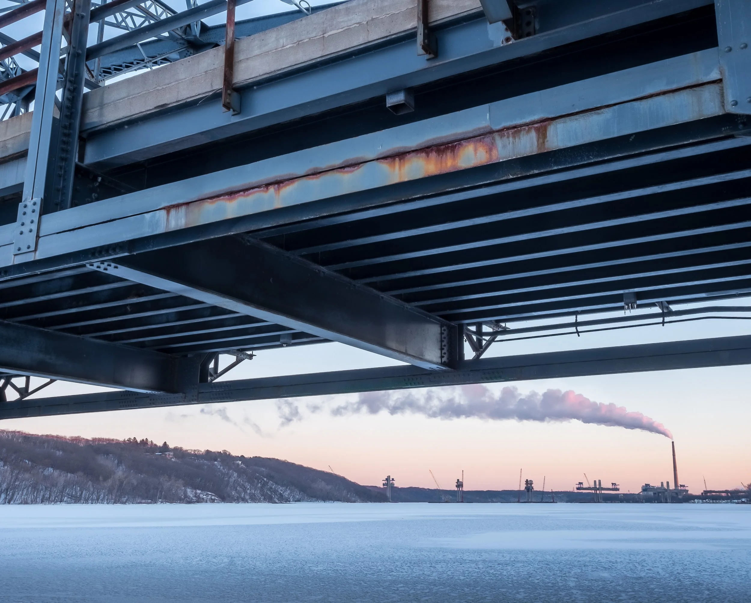
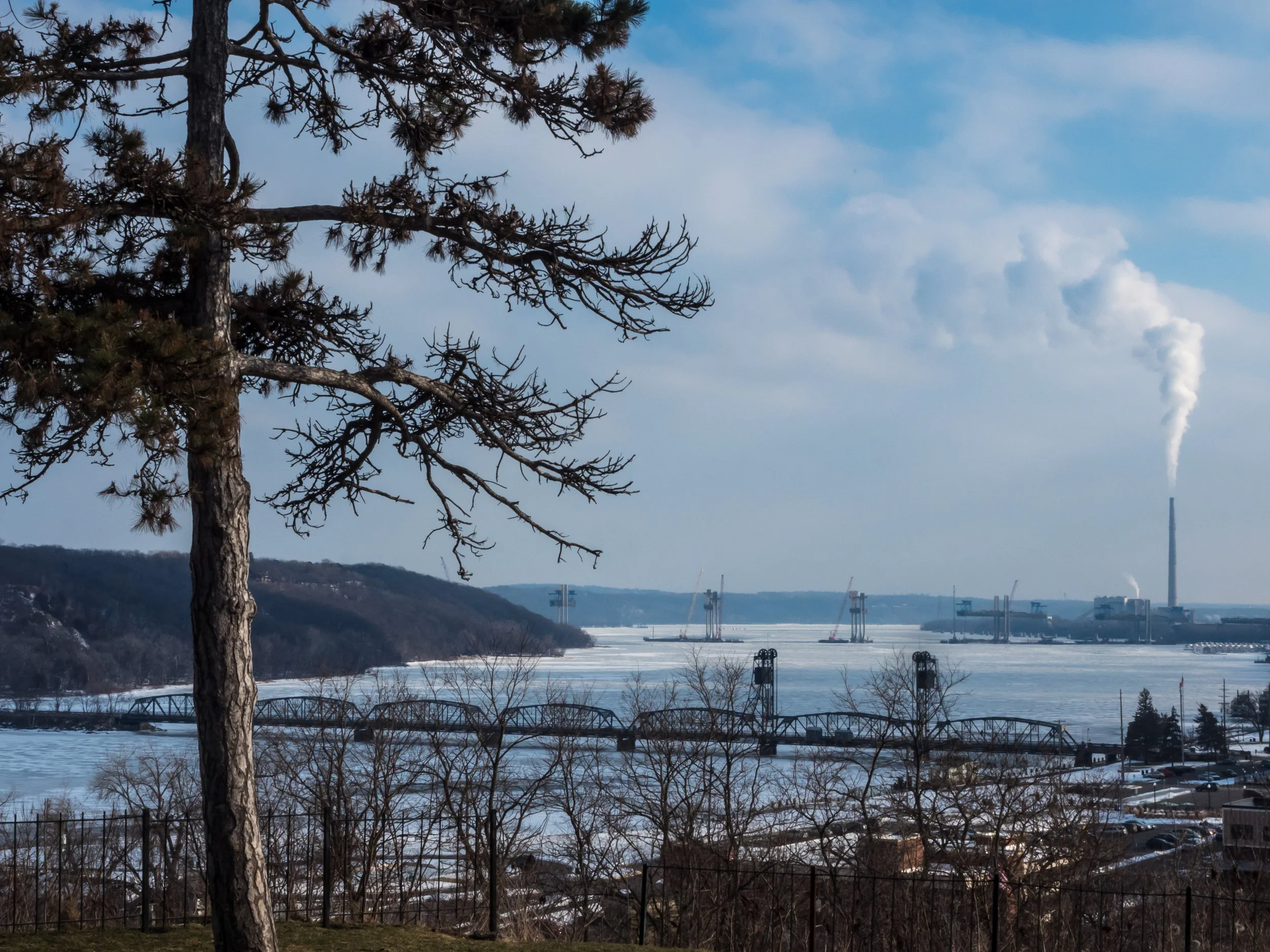
Stillwater Lift Bridge, the King Plant smokestack, and the piers of the new highway bridge frame the frozen St. Croix River.
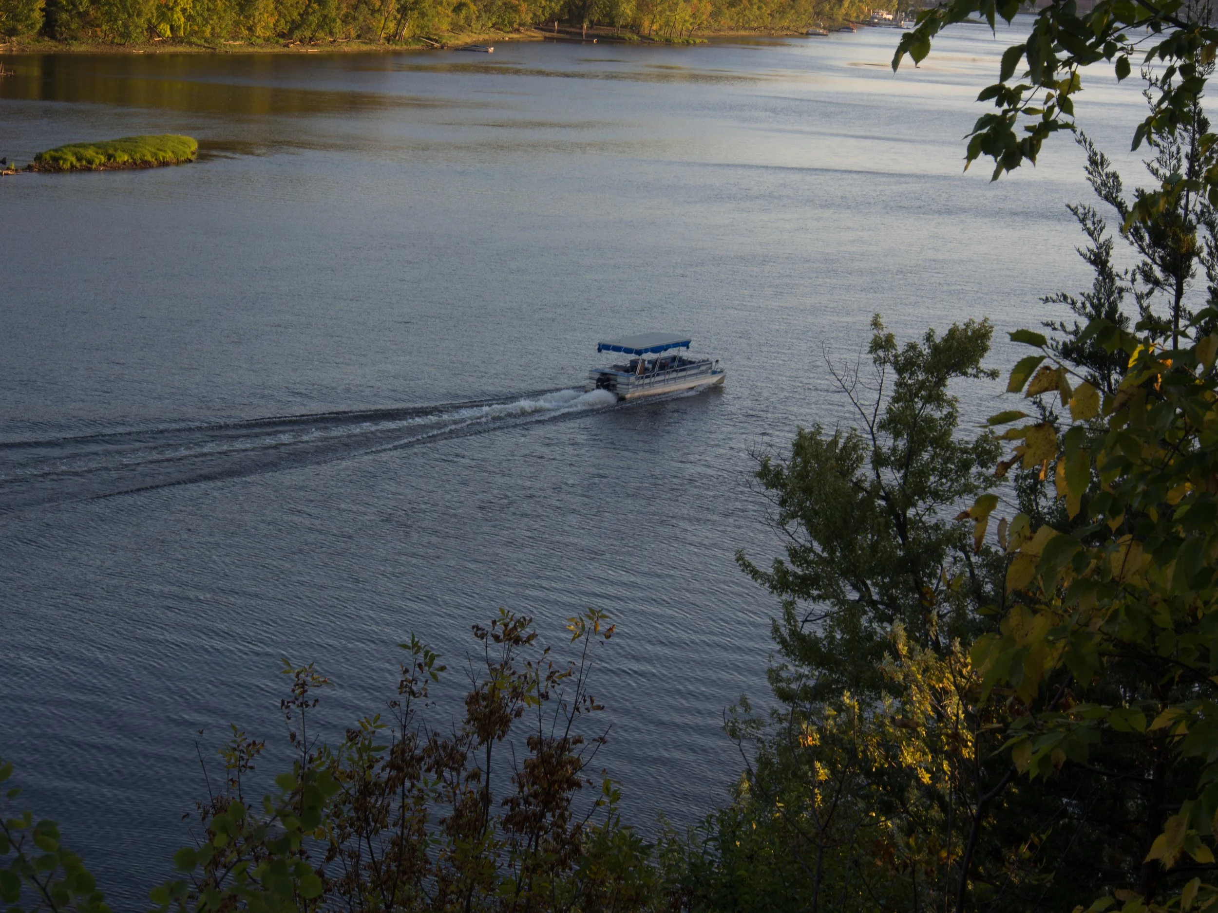
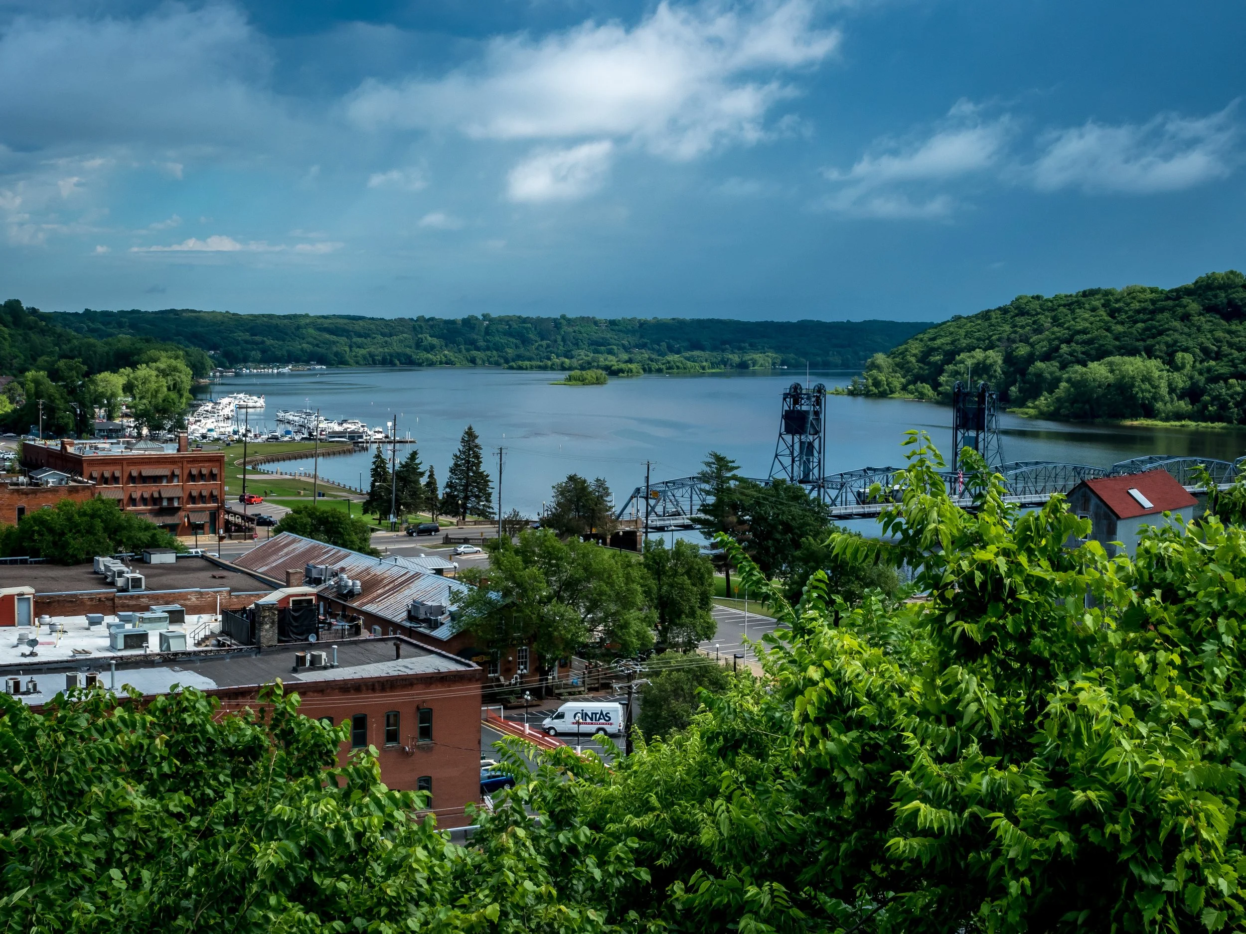
The St. Croix at Stillwater, Minnesota
Afternoon weather on the St. Croix River at Stillwater, Minnesota
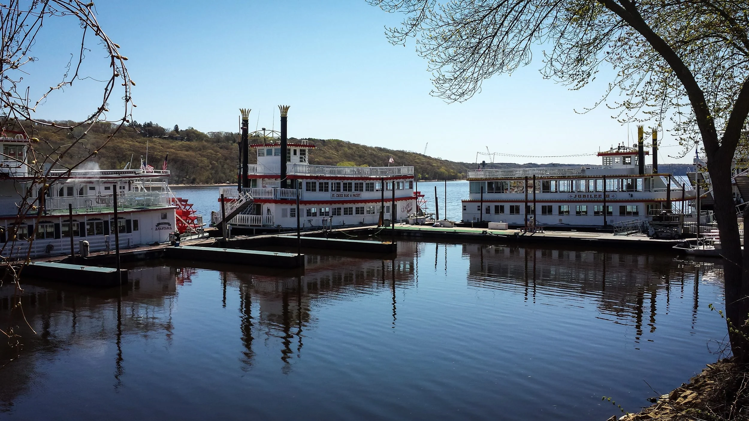
River boats At Stillwater
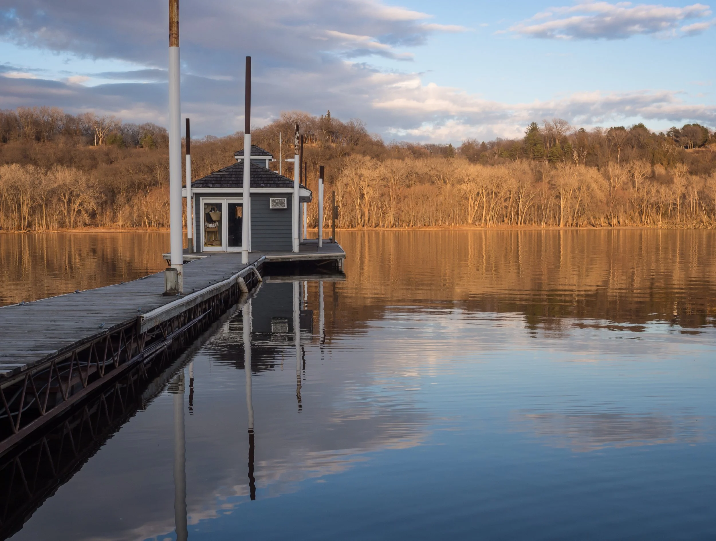
Marina dock In Stillwater, Minnesota in late autumn
Late autumn at the Stillwater Marina after all the boats have been taken off the river
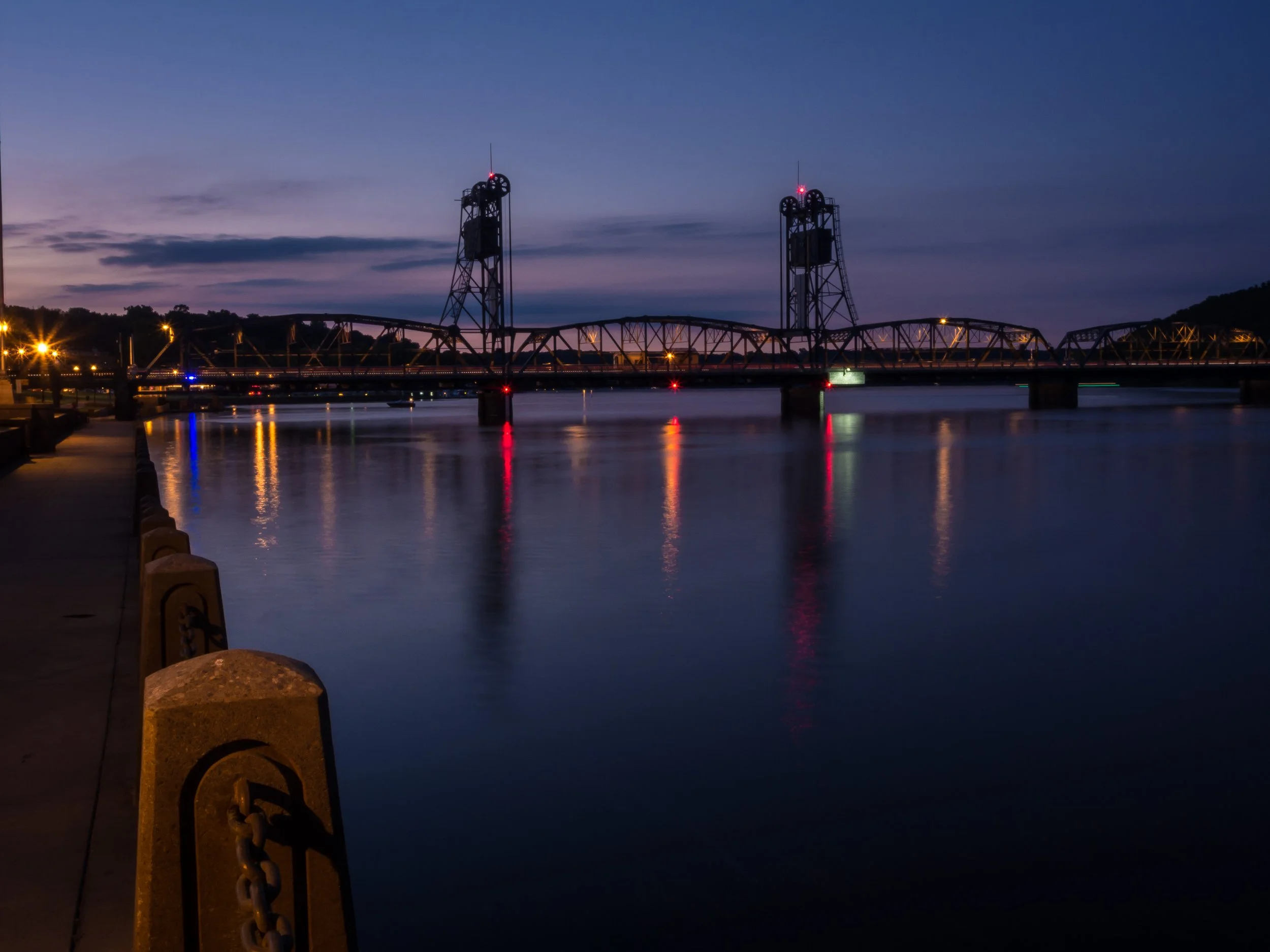
The Lift Bridge At Stillwater, Minnesota.
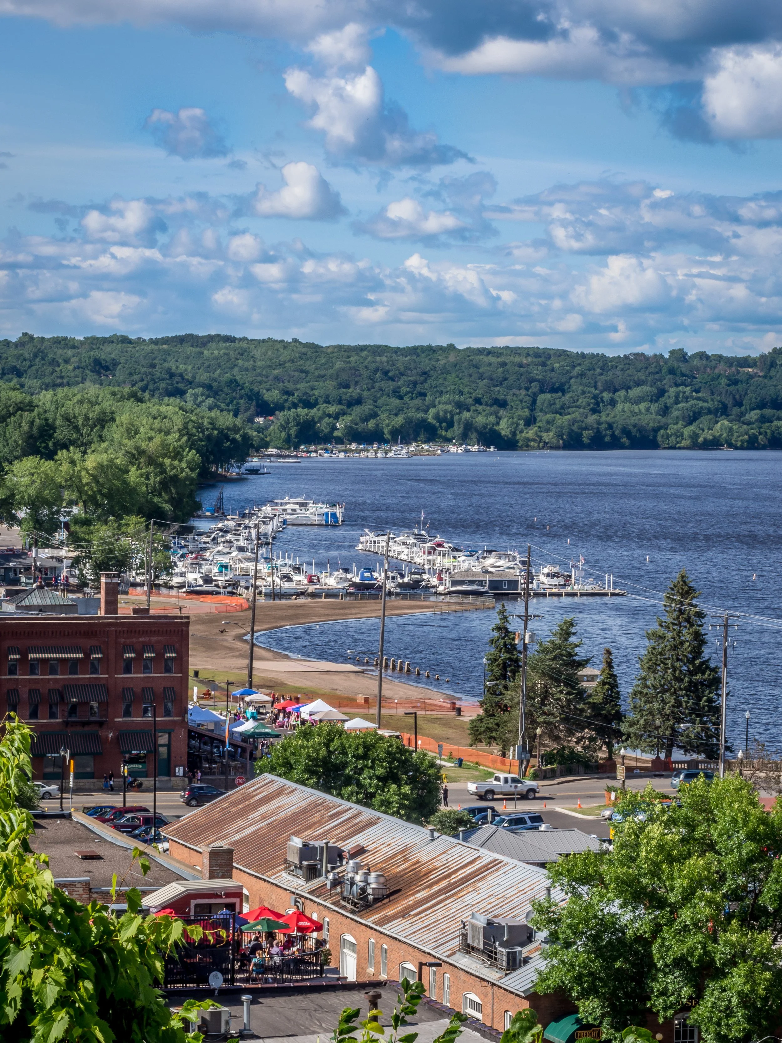
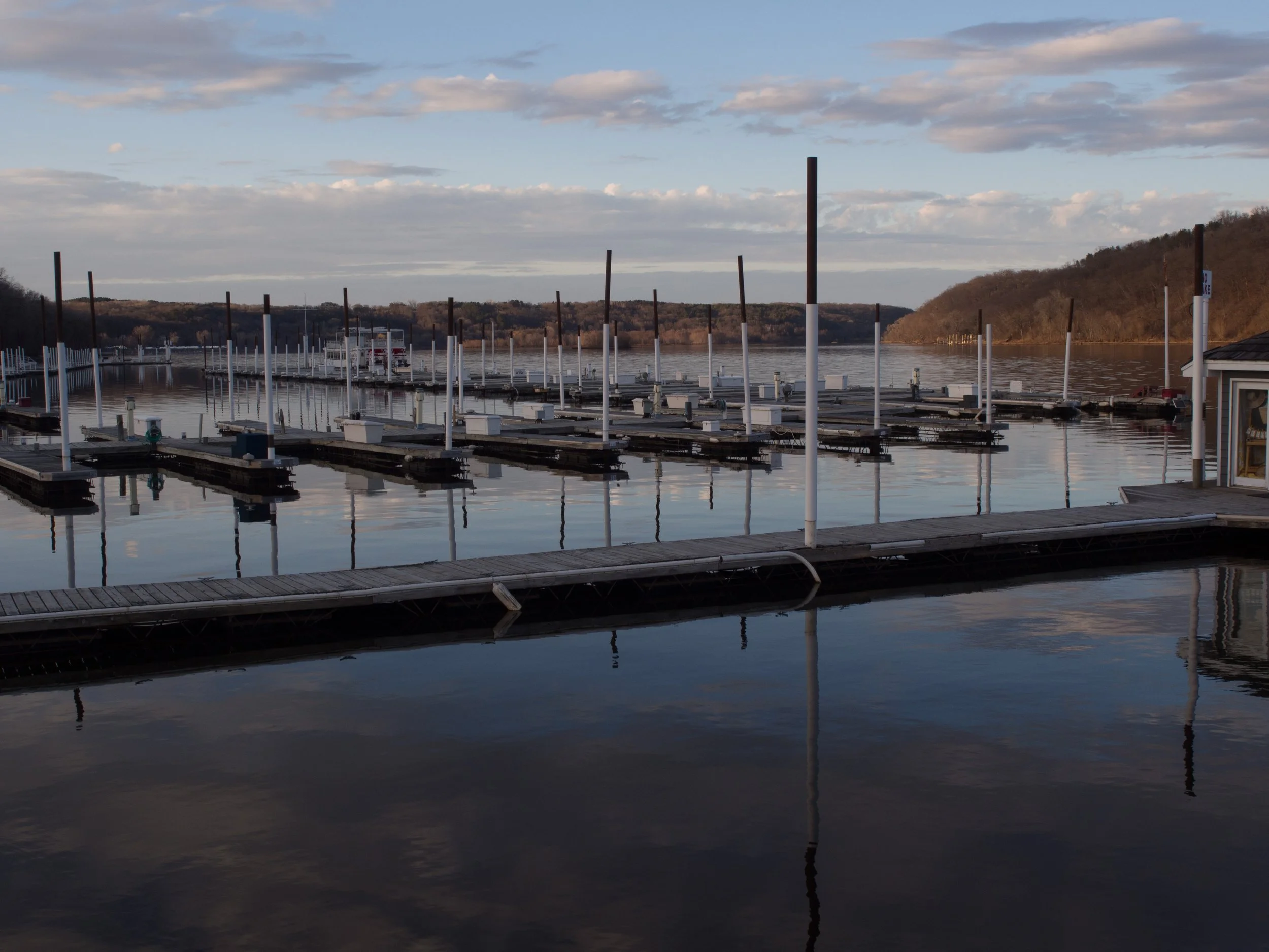
Marinas in Stillwater, Minnesota
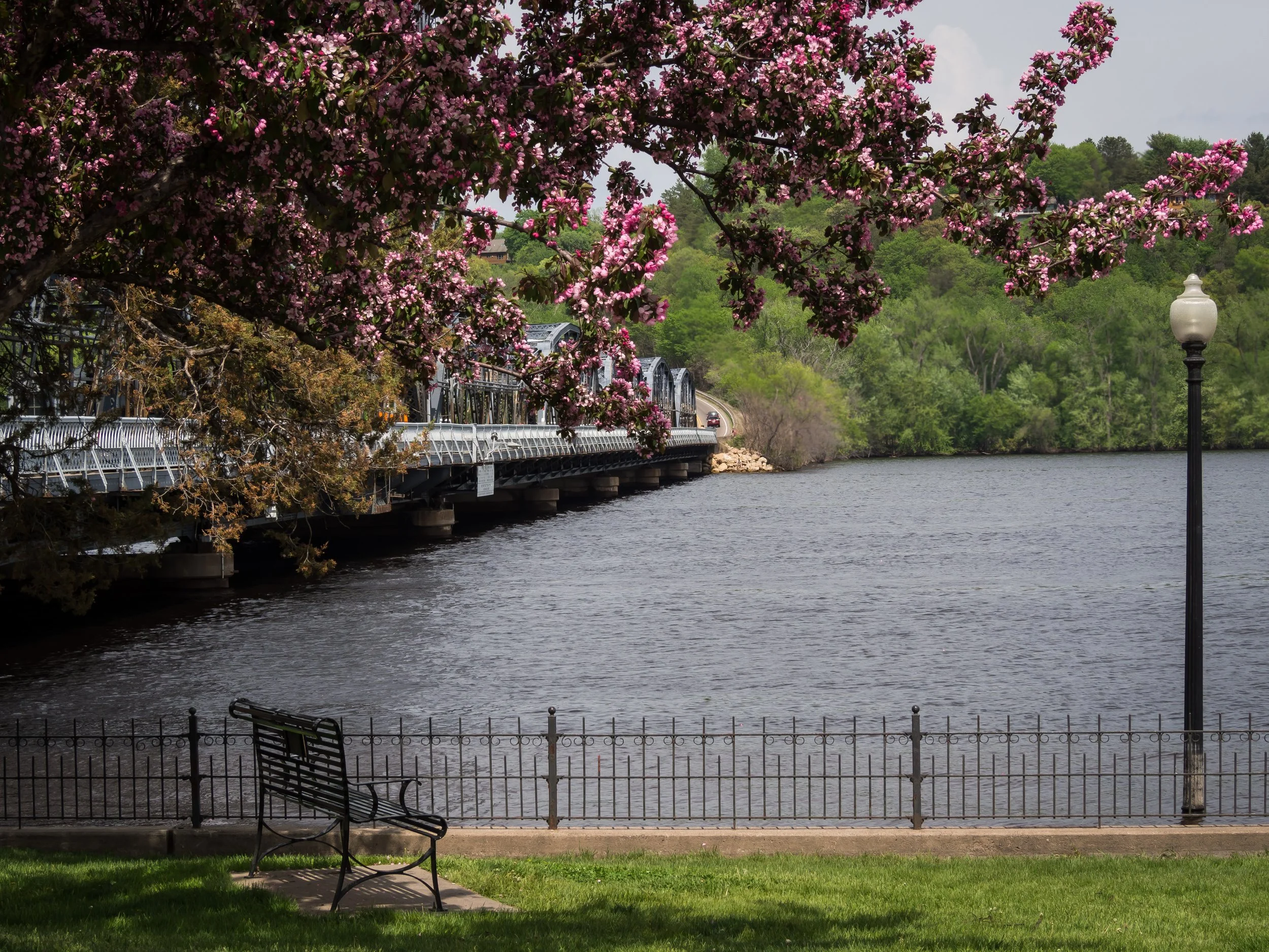
Flowering crab in Stillwater's Lowell Park
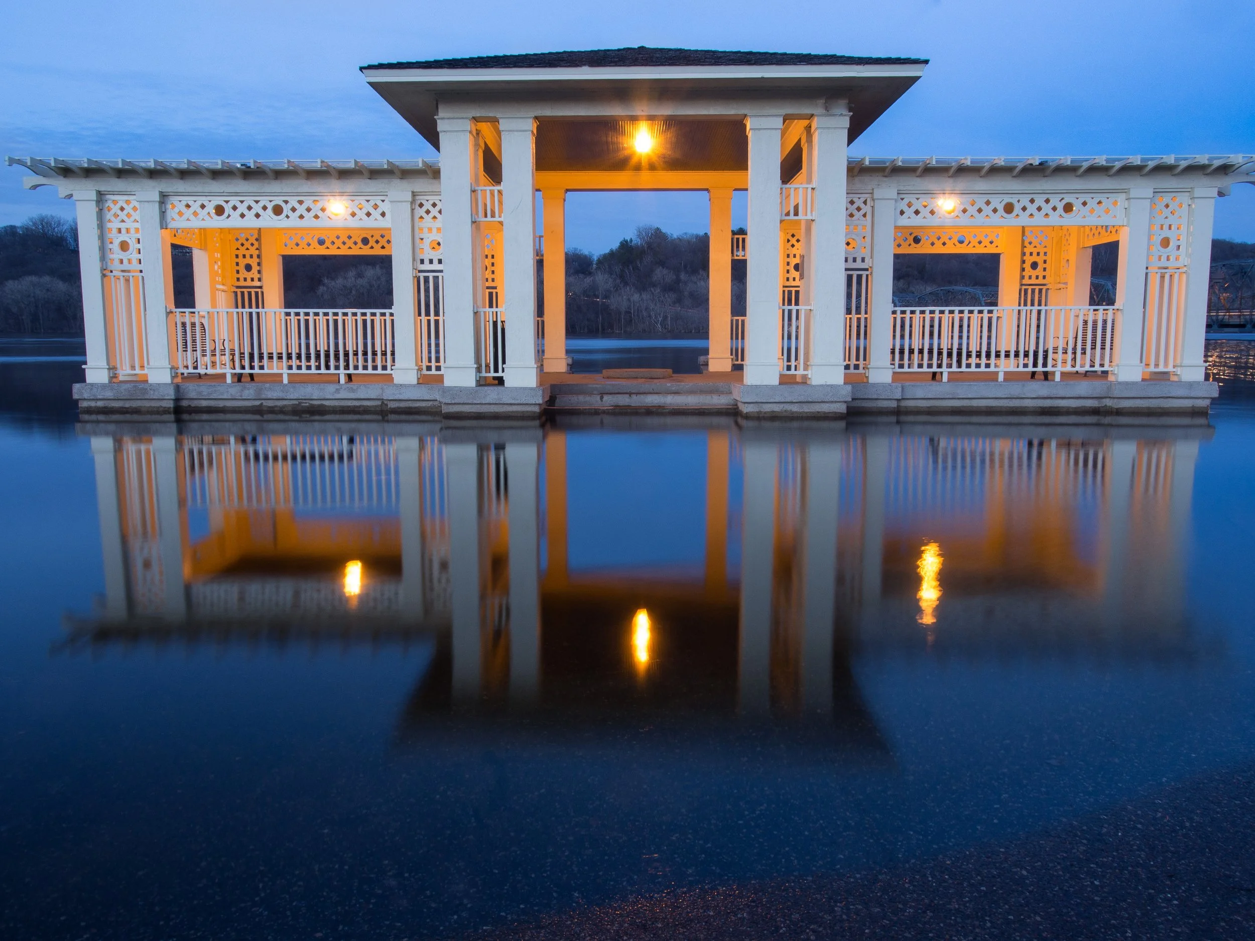
Gazebo in Lowell Park on the Stillwater levee with the St. Croix River in flood
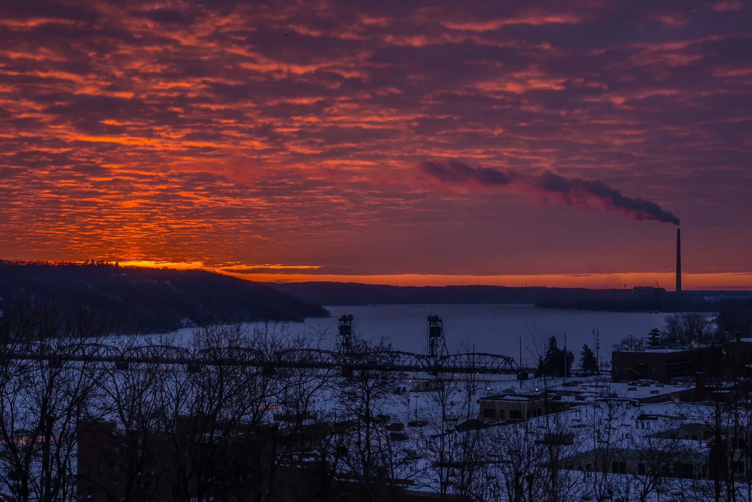
Stillwater early on a winter morning.
Harris said, however, that the river would suit him to a "T." I don't know what a "T" is . . . It seems to suit everybody, however, which is greatly to its credit.
― Jerome K. Jerome, Three Men in a Boat