A Day Along the Brule
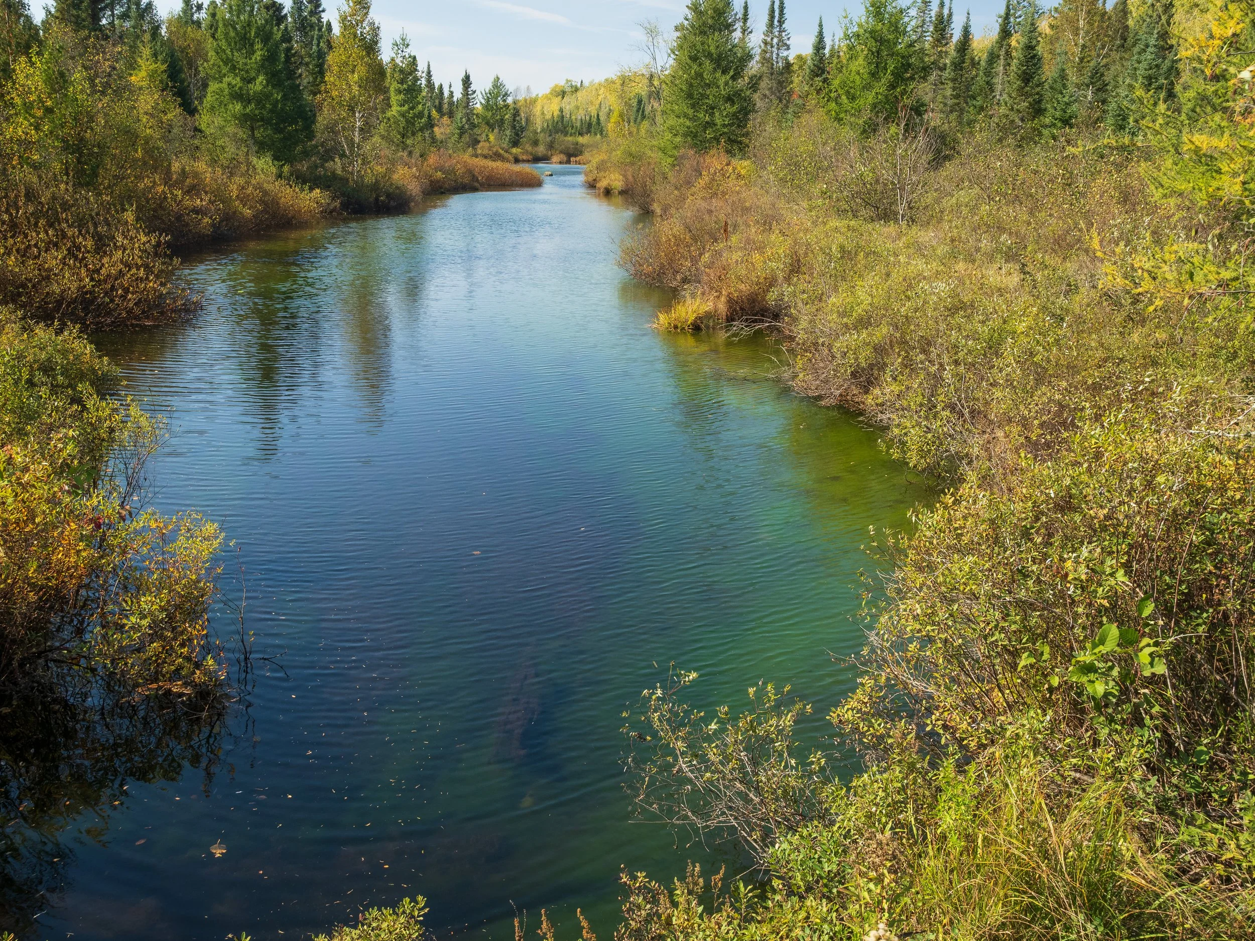
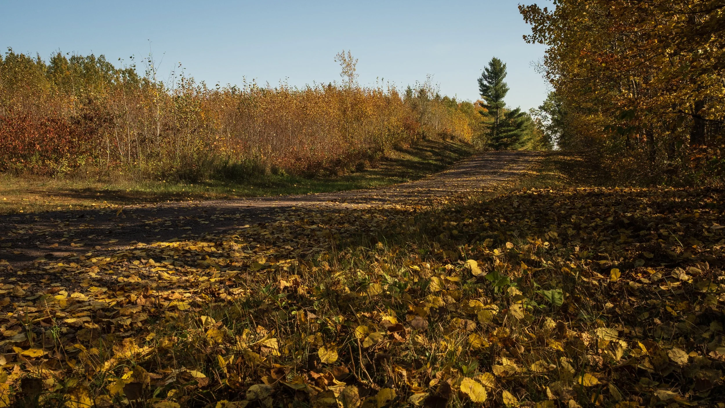
I started my day on Saturday eating lunch at a picnic table on the shore of St. Croix Lake in northern Wisconsin. Not far away, St. Croix Creek, the source of the St. Croix River, emptied into the north end of the lake. After lunch, I drove a few miles north to the head of a trail leading down into the valley of the Brule River. The source of the Brule is only a few hundred yards from that of the St. Croix.
When the only means of transportation were walking and paddling a canoe, the Brule and St. Croix rivers were part of an important trade and travel route. From Lake Superior, one paddled south to the Brule’s headwaters, then portaged to the St. Croix River. This portage connected the Great Lakes drainage system with the Mississippi drainage system. The portage trail still exists. It’s a trail that has been used for millennia. It’s part of the North Country National Scenic Trail.
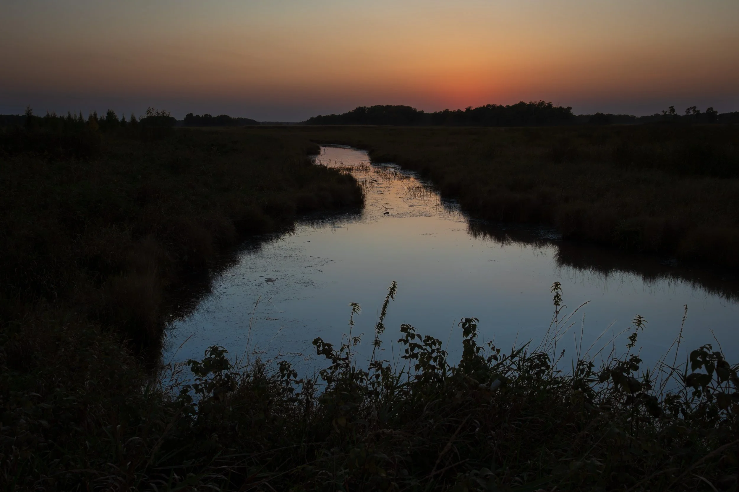
After my hike to the bank of the Brule, I drove north to Port Wing Marina on the big lake, where I enjoyed photographing gulls. Next, I drove and hiked to the mouth of the Brule River. I walked the beach on a sand spit deposited by the river. The water was pleasantly cool in the 87° heat. People were swimming in Lake Superior! I visited Isle Royale in the early 1980s. Then, one only entered the lake on a dare. It was much too cold to swim in for more than a few seconds.
Below are photos from my day along the river and at the beach.
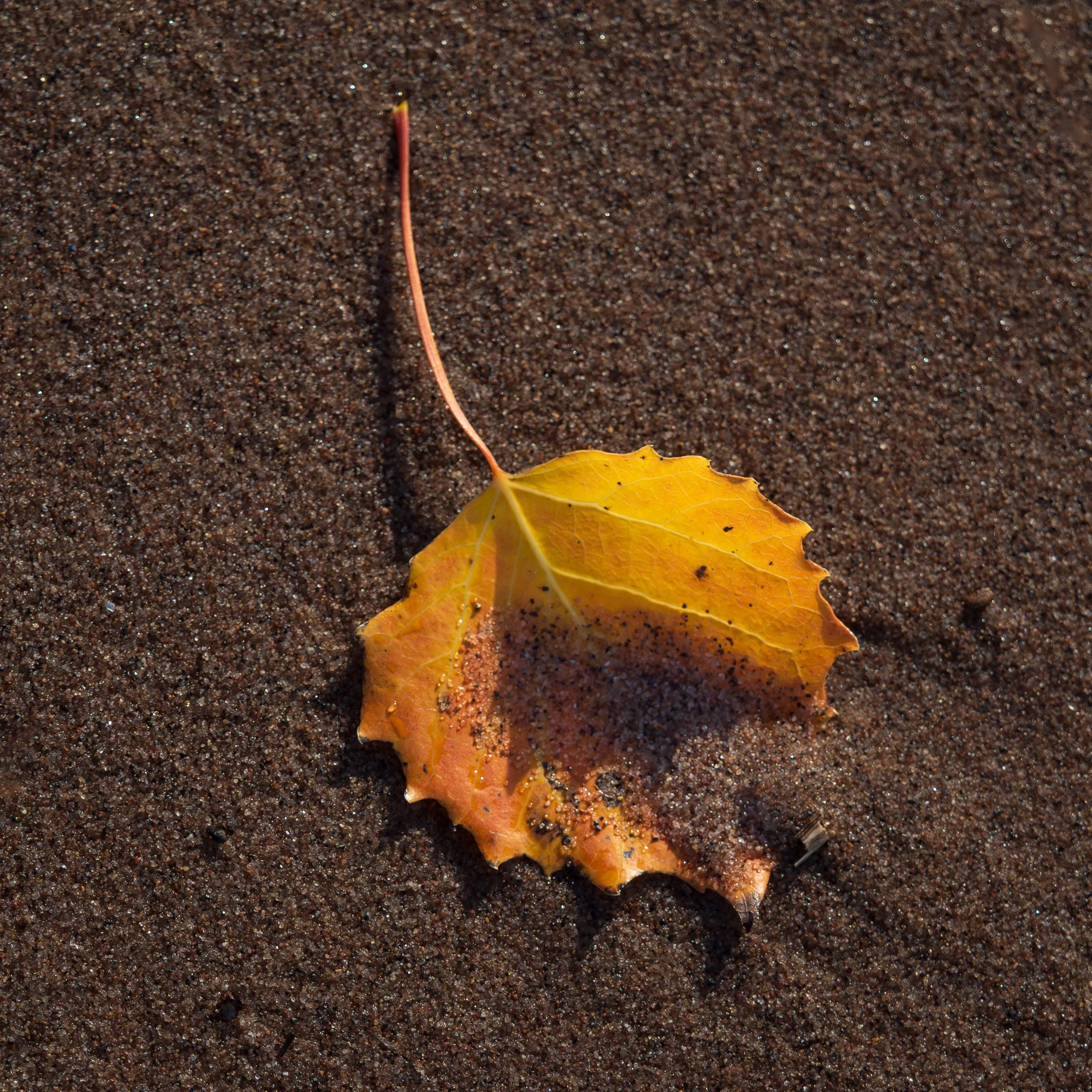
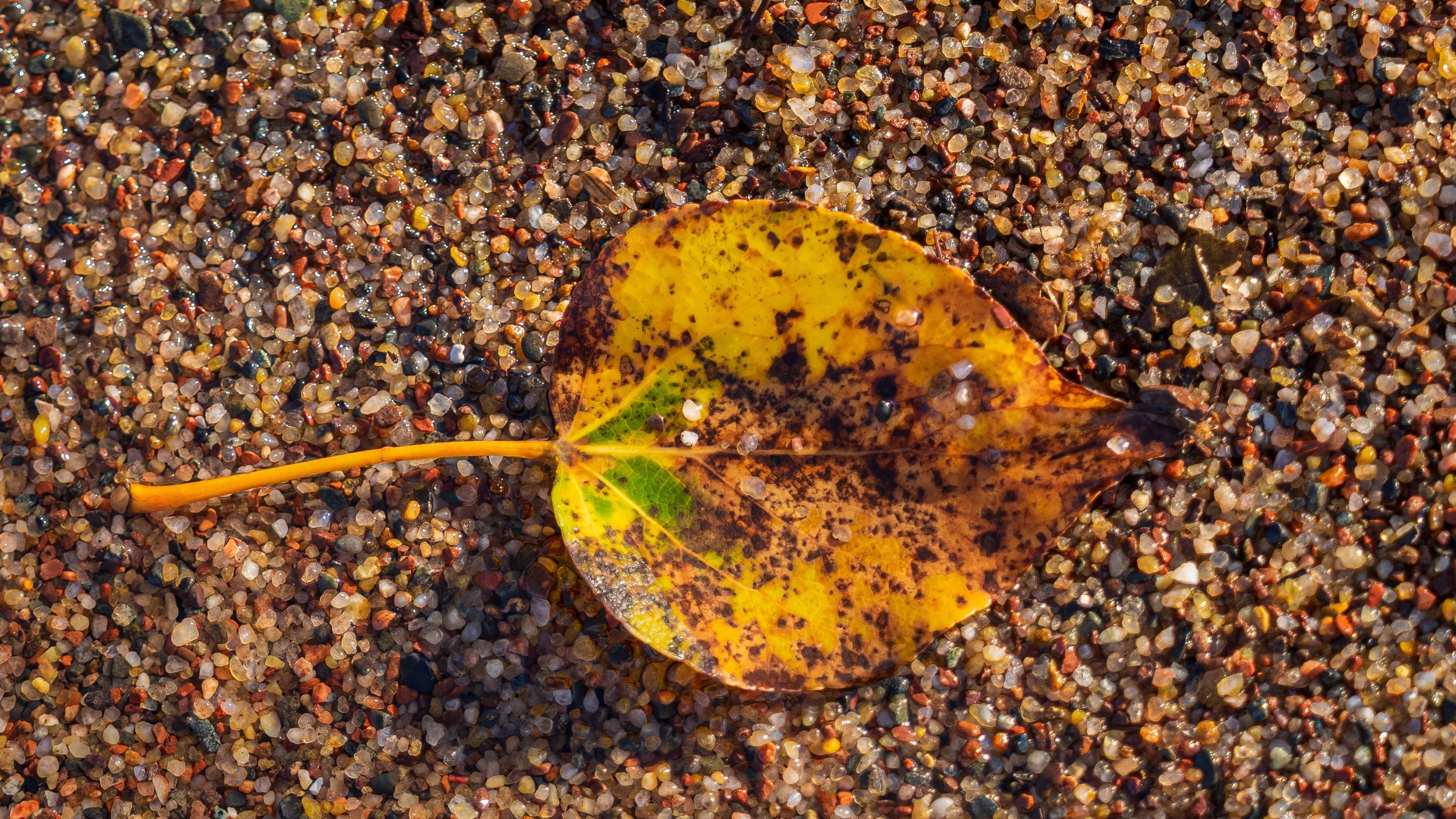
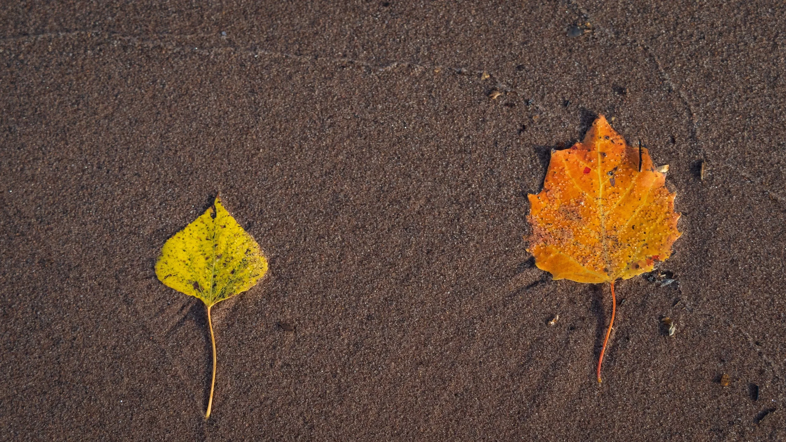
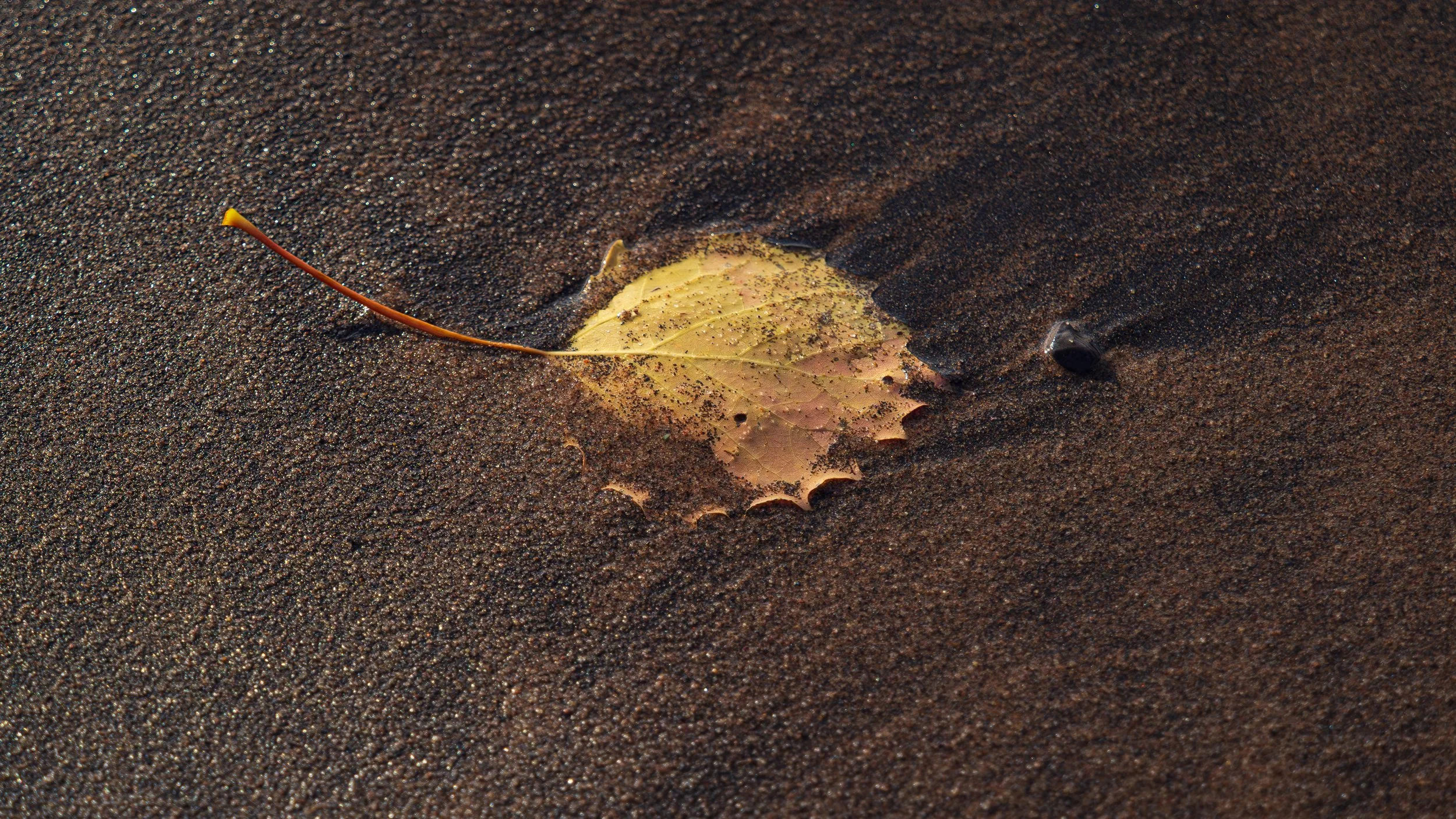
Leaves on the the Lake Superior beach


“We must all either wear out or rust out. My choice is to wear out.”
— Theodore Roosevelt